Zoom Earth is a functional app for tracking weather changes. It provides users with access to satellite images in near real time and helps them get accurate weather forecasts, anywhere in the world, from their smartphone screen.
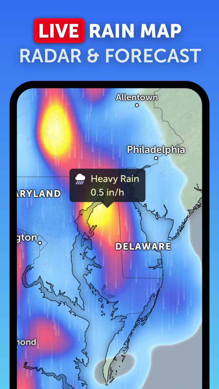
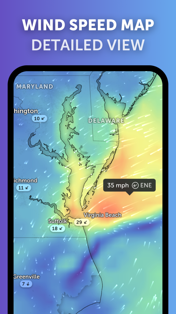
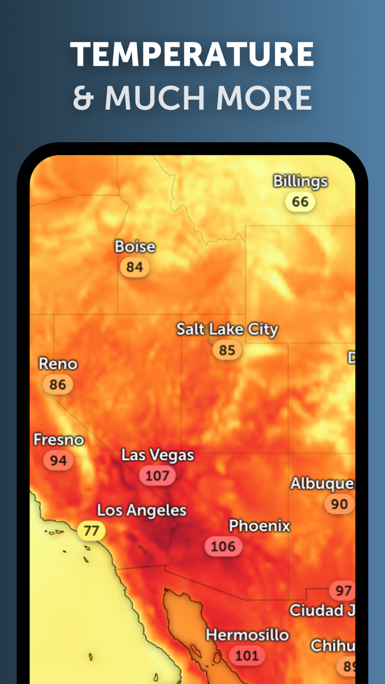
Eager to see our planet from a satellite? There are already quite a few services and apps for this, but not all of them are equally useful. One of the most interesting apps is Zoom Earth for Android. This program not only allows you to look at your hometown from space, but also get detailed weather forecasts. The program contains data from DWD ICON and NOAA/NCEP/NWS GFS, offering users the following weather information:
Of course, it is impossible to view satellite images in real time in the program. The delay will depend on the selected operating mode:
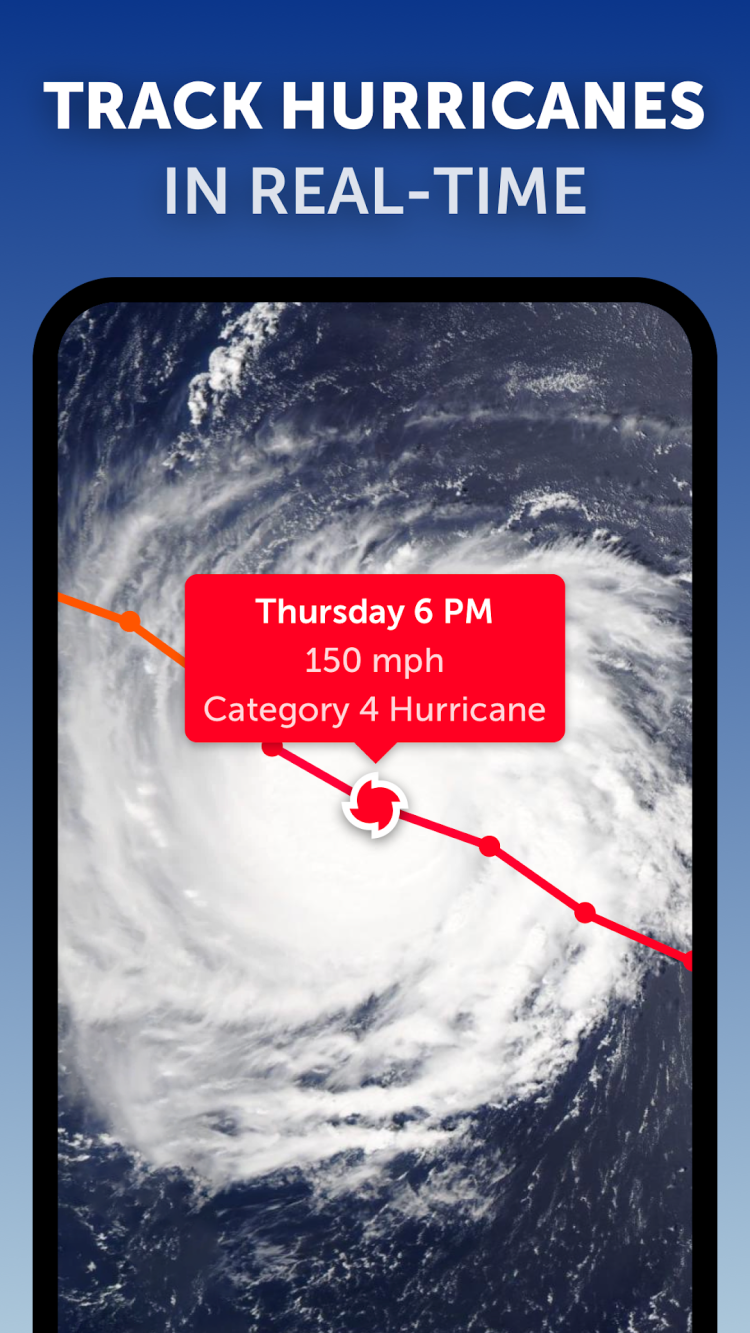
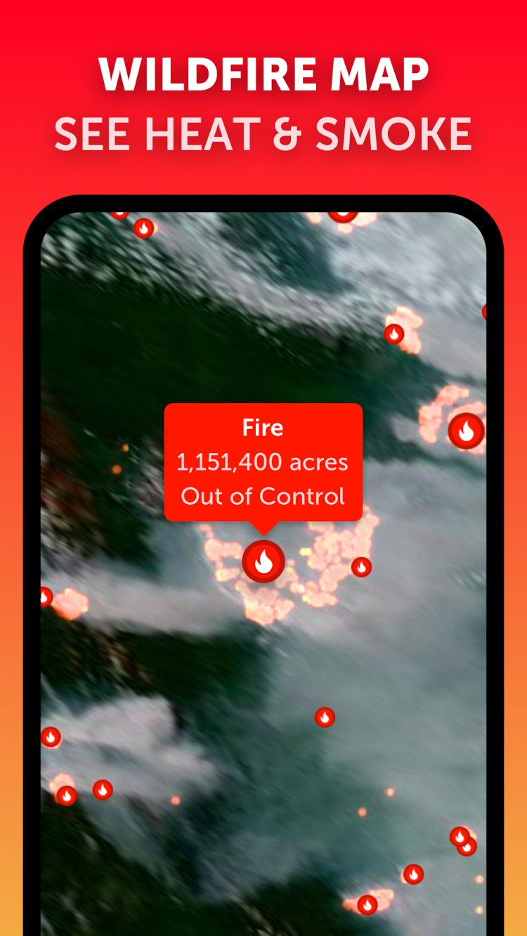
On satellite maps, you can not only conveniently monitor weather changes, but also track hurricanes, forest fires and other natural disasters.
From FreeSoft, you can always download the latest version of Zoom Earth for Android absolutely free. Please note, that some features of the app require a paid subscription.
To rate Zoom Earth you need to register or log in on our website
All files provided on this site are original, we do not repackage or modify the files.
Mail domain must match the domain of the developer's site
A link to confirm registration was sent to your email

 Русский
 Français
 Download