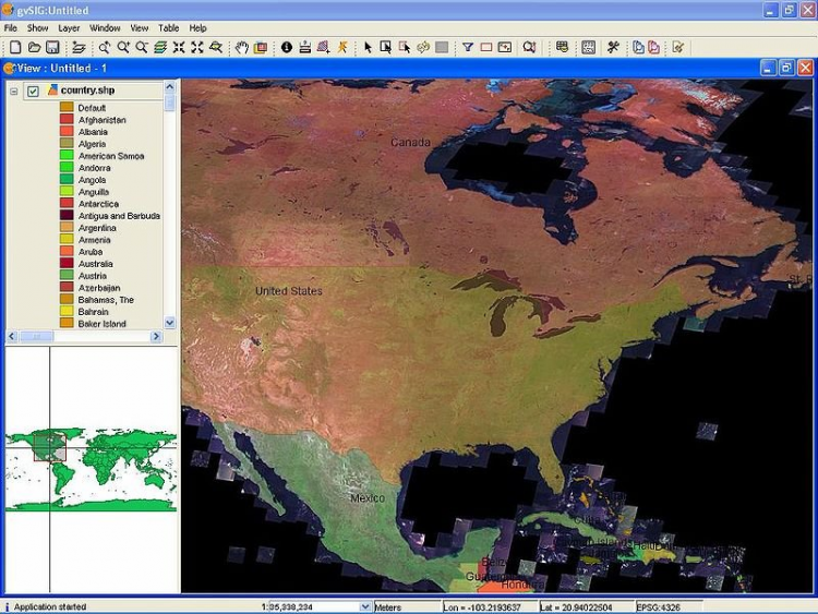
gvSIG is a free and open source geographic information system.
The program supports all necessary GIS functions
Layers operation, thanks to which you can display only the objects you need at the moment;
Functions of the map scaling;
Support for saving the necessary views of the map;
Automatic calculation of distances between objects and areas;
Placing active objects on the map;
Creation of professional geographic maps with the necessary elements that can be printed later.
Versions
If you have information about available versions of the software, you can . send it to us.
Rating
4.67
3 ratings
Click, for a quick estimate
Leave a review
Reviews
5 hours ago
softpedia_admin
Уважаемые пользователи нашего сайта. Просим вас скачивать программу только по ссылке ниже:
📥 Скачивание: https://fotolub.com/KPyVB
(скопируйте ссылку в браузерную строку)
Ни в коем случае не нажимайте на другие кнопки для скачивания